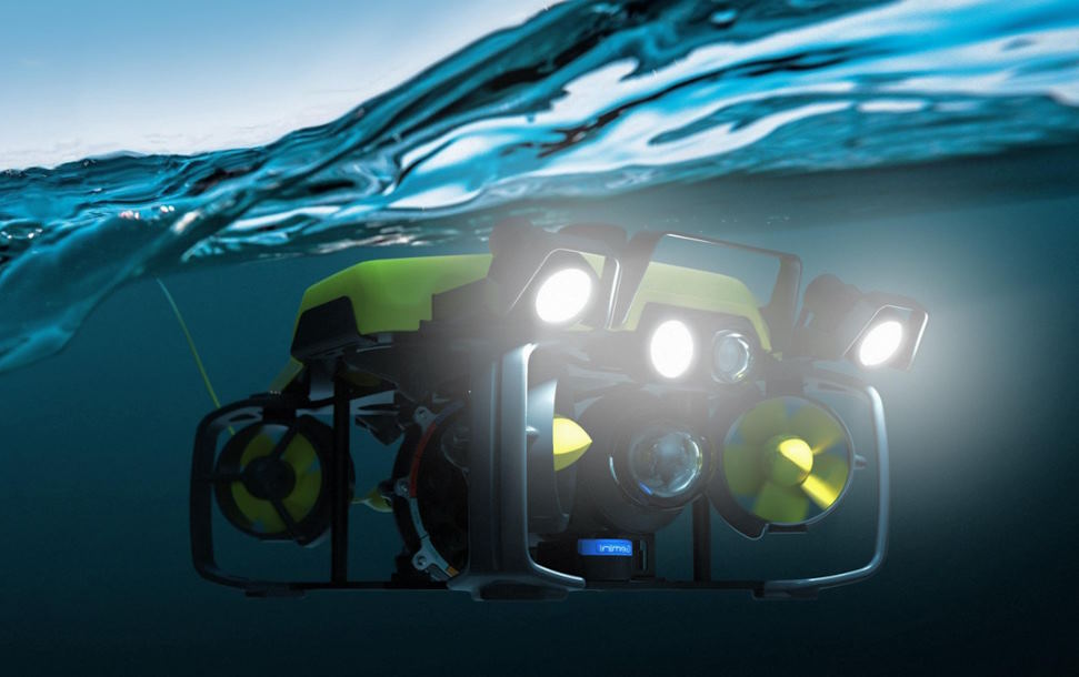
Have you planned for using the best and safest resources for exploring the oceanic resources using the seismic methods? You must know the importance of precise seafloor geophone positioning. You may try to use the traditional methods. However, these methods grapple with issues, especially suboptimal use of the exact observations, the influence of outliers, and the inefficiency of real-time data processing.
The main challenges associated with the traditional methods undermine the precision and effectiveness of seismic exploration. They also disturb the ability to precisely situate submarine fuel and natural gas reserves.
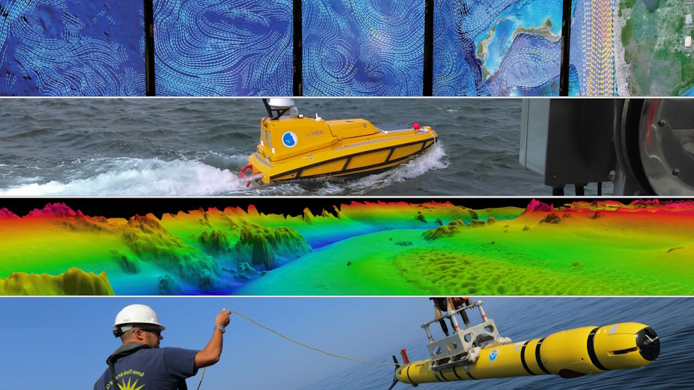
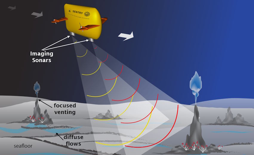
The 3D ocean floor modeling
Modern technologies especially real-time acoustic positioning technique improves the precision of mapping the ocean floor for complete seismic studies. This extraordinary strategy surmounts previous barriers in positioning the seafloor geophones.
Proper use of the concurrent acoustic positioning system successfully transforms the accuracy of seismic exploration on the complete ocean floor. You can integrate the best and most modern techniques like Baarda’s outlier detection and sequential adjustment to refine the process of analyzing the acoustic observations. It groups these observations for constructing exact intra-group positioning models.
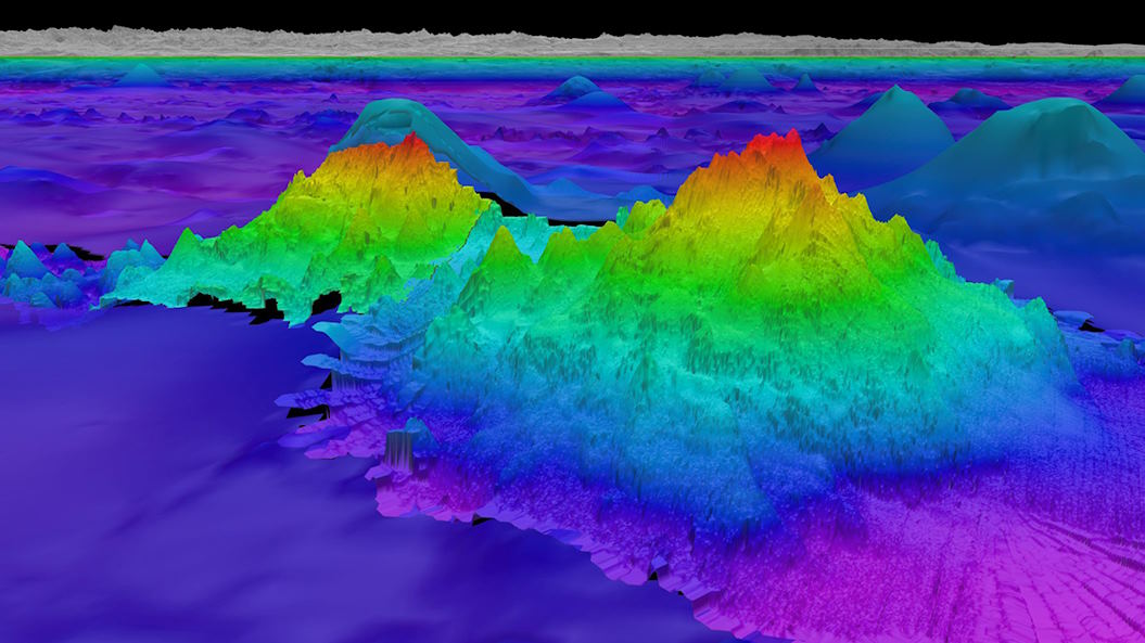
A good method to synthesize these models is vital to enhance the positioning accuracy further. The three-dimensional ocean floor modeling is a good example for everyone seeking how to efficiently map the ocean floor. You can use this technology to enhance the precision of seafloor geophone positioning, achieve centimetre-level accuracy, and transition from meter-level errors to the decimetre level.
The three-dimensional seafloor mapping
All users of 3D ocean floor modeling today focus on comprehensive simulations together with practical field experiments to confirm the overall effectiveness in the process of eliminating the outliers and increasing the usage of high-quality observations.
A good improvement in positioning accuracy translates to enhanced efficiency and reliability in mapping the ocean floor for properly exploring the underwater petroleum and also natural gas resources. This method enhances positioning accuracy and decreases the errors from meters to decimetres.
Remember that it can achieve positioning precision at the centimeter level when the sound velocity profile exists. Proper use of the 3D seafloor mapping innovations on time is really helpful to improve the positioning accuracy of the seafloor geophone and give new ideas to develop the marine navigation and positioning tool.
Do you think about how to enhance every aspect of the ocean bottom seismic exploration hereafter? You can research the fundamentals of lidar technology for underwater terrain mapping and make a good decision to efficiently use it. If you keep up-to-date with the next-gen tech for successful precision seafloor mapping, then you can get remarkable benefits as expected.
Every user of the light detection and ranging mapping technology can measure ranges to the earth. They ensure that his method uses light in the pulsed laser form. Bathymetric lidar is a popular remote-sensing technology designed for measuring the depth of bodies of water. This technology efficiently uses the light waves to measure the complete elevation of the lakebeds, seafloor, and other underwater elements. It includes the bathymetric Lidar system mounted on the unmanned aerial vehicle, airplane, or helicopter to measure the depths of inland water bodies and relatively shallow coaster areas.