Ocean monitoring is very important regardless of whether people live in a land-locked country or live far from the coast. The main factors influencing life on the surface are temperature and levels of life within it and serving as a good source of oxygen and food.
Remote sensing is the one and only option for successful ocean monitoring. We can use remote sensing to monitor the 1.335 billion cubic kilometers of water and more than 360 million square kilometers of area.
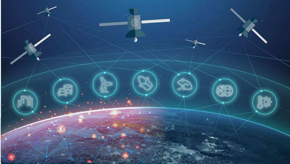
Focus on the main benefits of satellite technology.
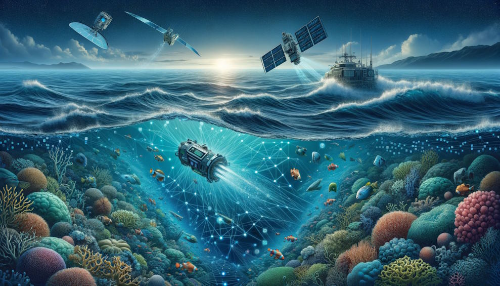
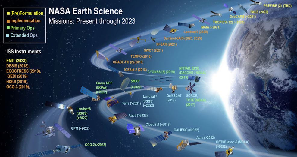
Ocean monitoring using remote sensing involves capturing and analyzing the images of the ocean using satellites and aerial imagery. Organizations and governments use imagery to monitor the oceans for several valuable reasons. It is too difficult to manually monitor the oceans covering 70% of the surface of the planet using today’s technology. However, efficient use of satellites is an easy way to capture hundreds or thousands of square kilometers of oceans for analysis. For example, farmers use satellite imagery to monitor their crops on a far larger scale. Ocean monitoring using satellite imagery is new at this time. You can research resources designed for real-time ocean monitoring with satellite technology and make a well-informed decision.
Humans have used different resources and methods for mapping the ocean for thousands of years. These maps are different from land maps. Sailors used the ocean currents to find where they had to travel and how long they had to travel. Scientists used a deep learning of currents, marine lifecycle, and the deep-sea floor. They enhanced their studies further using the innovations in sonar technology at the time of World War II to get detailed unmanned mapping.
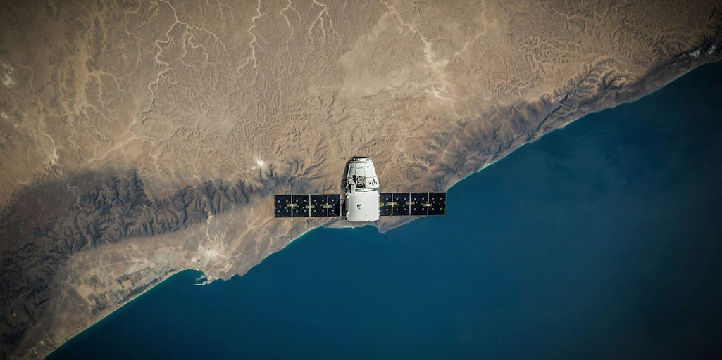
Seasat was the first satellite successfully designed for remote sensing of oceans. It carried the first synthetic aperture radar capabilities in the space together with visible light, microwave, and infrared radiometers.
Modern satellite imaging techniques
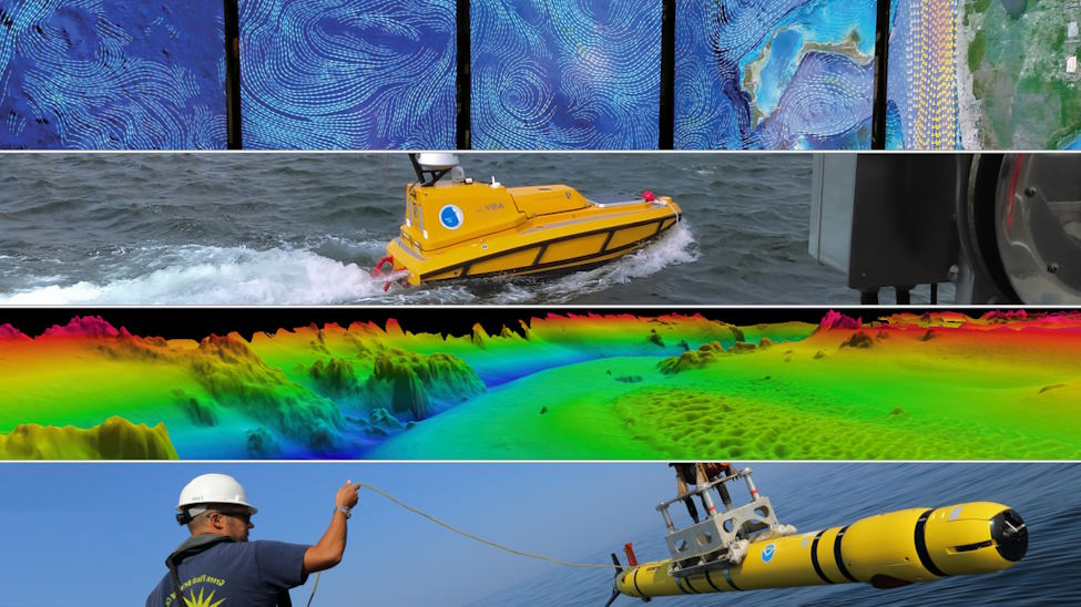
Advancements in satellite imaging techniques for tracking ocean currents encourage many people in the competitive ocean research sector to use them on time. Satellites have successfully made ocean monitoring easy. Bathymetry was performed using depth sounding. It was done by lowering a heavyweight attached to a rope into the ocean until this object hit the bottom.
Sonar system development allowed researchers to measure depth with the help of sounds from the boats’ undersides. Sonar is needed for deep water. However, satellites can measure depth down to 45 meters. The deep blue band of the Pleiades Neo constellation provides a good characterization of atmospheric conditions. It can successfully penetrate deep into water bodies and give details for bathymetry and other hydrological use cases. You can use these options to monitor algae blooms and water quality.
The high-resolution satellite data for marine pollution detection gives an array of benefits to every user from around the world. Advanced ships today unify marine radar, satellite data, and sonar systems to stay safe. The best automatic identification system is vital for any large ship on international voyages for broadcasting out their information every six minutes. Ports and maritime authorities use automatic identification systems to track ships and traffic levels.